Talbot's Principality

A road, a settlement and a lake shore shaped by one powerful colonial land agent.

Coming soonElgin County5 stops
  • Scenic route
  • History deep dive
  • Good for a day out
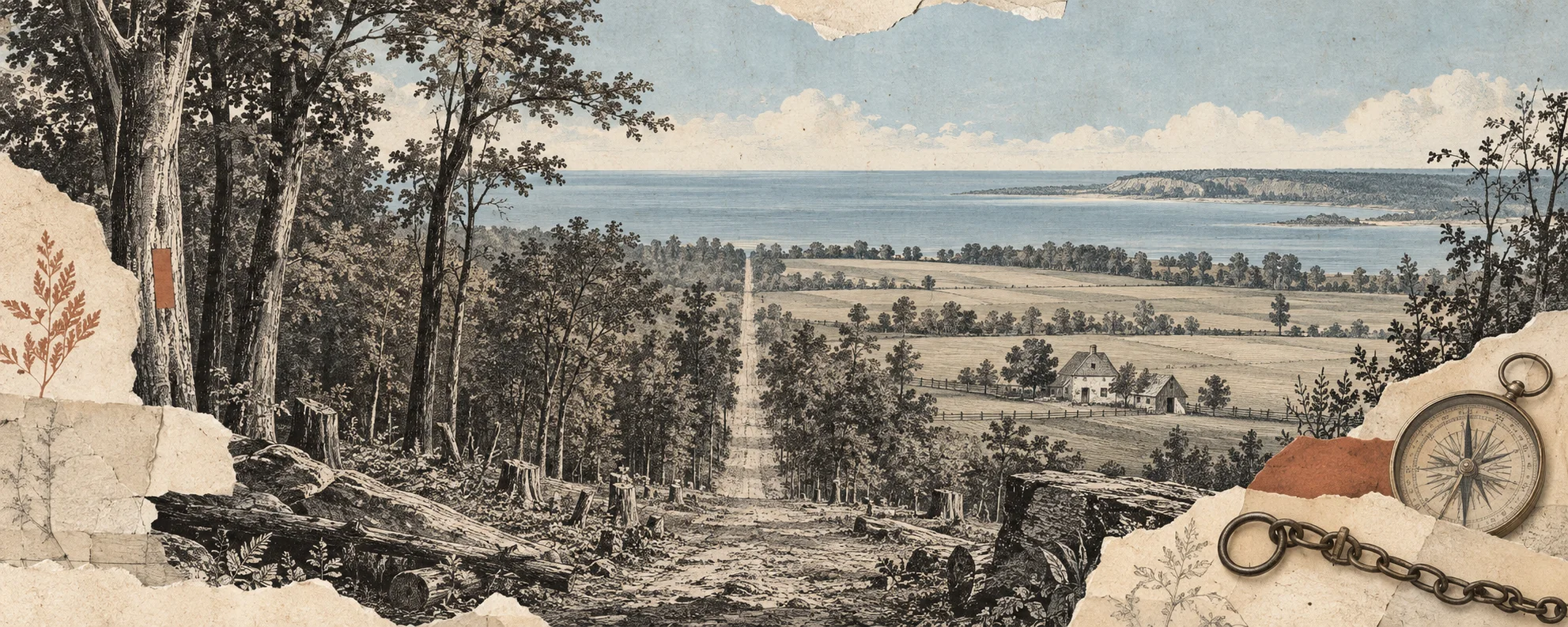
Interpretive collage of a surveyed road, farmland and Lake Erie shoreline for Talbot’s Principality.

A preview of the stories

A five-stop loop from St. Thomas to Port Burwell follows the Talbot Road and the people who laid out, governed and challenged the settlement. The route ends near Lake Erie, with a stop at the plaque for surveyor Mahlon Burwell.
Starts nearSt. Thomas, Elgin CountyEnds nearPort Burwell, Elgin County

Map data & attributions

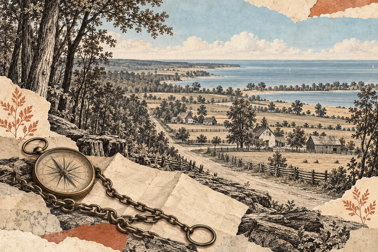
Interpretive collage of a survey chain and compass over a worked rural landscape of roads, farms and Lake Erie shoreline.

Story threads

  • The Talbot Road and the survey of a settlement corridor
  • Thomas Talbot’s role as land agent and colonial administrator
  • Charles Duncombe and reform politics in Upper Canada
  • Daniel Rapelje and early settlement leadership
  • Mahlon Burwell and the mapping of the Talbot Settlement